
Busy transportation routes in Niagara: International border crossings from the US (inbound), January to March 2011 were 1,654,973 (607,607 for March) – down 5.9% from the previous period. International border crossings to the US (outbound) January to March, 2011 were 6,763,519 – up 8.5% from the previous year.
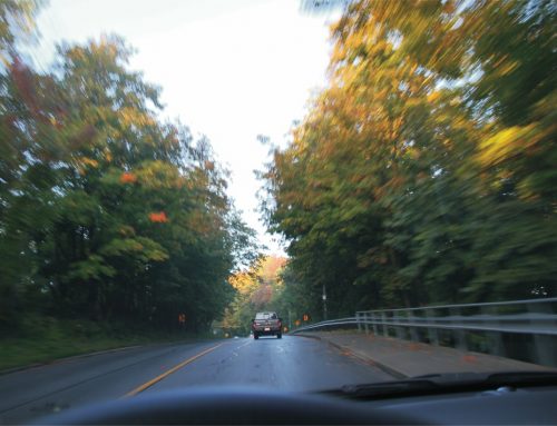
The Queen Elizabeth Way (QEW) highway, built in 1940 is the major trade corridor from the Greater Toronto Area to the Niagara Region and to the four international crossings (Queenston-Lewiston, Rainbow, Whirlpool and Peace Bridges) over the Niagara River to New York State. It handles a high volume of local, commuting, tourist and commercial traffic. In 2004 the Ministry of Transportation reported that the QEW carried an average of approximately 79,000 vehicles per day (17 percent commercial vehicles). Summer traffic is significantly higher, with about 100,000 vehicles per day across the St. Catharines part of the highway. The traffic growth on the QEW has risen significantly over the past 10 years and is expected to continue to increase by 40 percent over the next 10 years. It is presently being upgraded to six- lanes and improvements to extend the life of the St. Catharines Skyway for 15 more years to 2025 are underway.
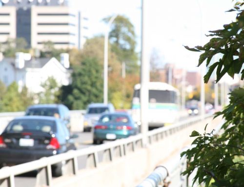
Queenston-Lewiston is Canada’s fourth busiest Canada-US commercial land border crossing operated by the Niagara Falls Bridge Commission (NFBC). In 2009, approximately 675,000 commercial trucks and over 2.6 million cars crossed. It is also the ninth busiest passenger crossing (approximately 3.3 million in total – over 9,000 per day). A $130 million, multi-phase project is underway to redevelop and expand the Queenston Plaza on the Canadian side. The Peace Bridge in Fort Erie is Canada’s third busiest passenger crossing, handling the crossing of approximately 6.7 million cars and 1.35 million trucks per year.
Source: http://www.mto.gov.on.ca/english/news/provincial/2004/050604.htm Figure 2.9 shows that traffic average volumes and summer volumes continue to increase from the Peace Bridge to Grimsby 2000-2007. Volume rates are greatest from Mountain Road to Grimsby.
Figure 2.9

Figure 2.10

Emerging Activity: The Niagara to GTA Corridor Planning and Environmental Assessment (EA) study is examining options to expand the capacity of the transportation system in future years between the Niagara Gateway and the Greater Toronto Area. The goal is responsible planning by the Government of Ontario for future growth and economic prosperity in southern Ontario and the Greater Golden Horseshoe (GGH) area. The Ontario Ministry of Transportation (MTO) initiated Phase 1 of the NGTA study in December 2006, following approval of the EA Terms of Reference by the Ontario Minister of the Environment. Phase 1 of the study will look at all modal options to add capacity to the transportation systems that link Niagara to the GTA. This includes examining the role that each mode can play in the future transportation strategy for the area (e.g., rail, road, transit and marine).
The draft transportation development strategy of the NGTA-EA outlines an element to proceed with Phase 2 of the Environmental Assessment to identify a preferred route for connecting Highway 406 in the Welland area to the QEW between Highway 420 and Fort Erie as a potential new multi-use corridor required in the long term. Source: www.niagara-gta.com